- Threats characteristic of aggregate exploitation from under the water surface
Exploitation of natural aggregates extracted from under the water surface by specialist floating excavators requires adaptation of working conditions to the environment in which this activity is conducted. In addition to the provisions of safe mining plant operations, regulating working conditions and indicating areas of risk, it is necessary to properly identify and counteract additional threats resulting from the fact that the operation of aggregate from under water requires taking into account the conditions and behaviors characteristic for work on inland watercraft. The responsibility for the proper recognition of dangers and supervision over the implementation of safe work requirements rests with the mining plant operations manager. It is up to him to correctly identify mining and shipping dangers and to introduce preventive measures.
- The idea of comprehensive seismological monitoring in the area of georesource exploitation in Poland
Seismicity induced by human activity in the Legnica-Głogów Copper District has been a problem almost since its inception. In order to register seismic phenomena, seismic networks were installed focused on observing the LGOM area or individual mines. Seismometers of regional international networks are the most distant and oldest network. On the other hand, underground seismometers are located closest to the shock centers. The latest seismic network installed in 3 municipalities above the copper mines is Lumineos, consisting of seismometers and accelerometers. Mines and municipalities also have surface acceleration networks designed to observe the impact of vibration on the surface. The paper presents the advantages and disadvantages of individual recording systems and concepts of combining data from individual networks. Problems connected with it and possibilities that connected networks can offer to help in solving tasks in the field of seismology and engineering works were signaled.
- The use of GML to standardize mining map content
The regulations applied in the mining plant operations allow mining maps to be made in the form of electronic documents, without specifying the standards applicable to their preparation. This means that these documents can be prepared in any data saving format. The lack of a developed standard for recording geological and mining data significantly limits the exchange of information between different systems. The article describes a technique for standardizing selected mining map content using GML (Geography Markup Language). An application scheme was developed for storing mine data. Based on the scheme, a GML document was prepared with selected mining map content and a visualization of the objects contained in this file.
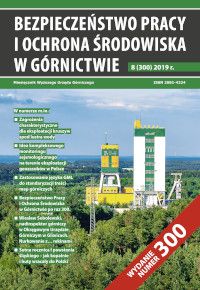
- Work Safety and Environmental Protection in Mining for the 300th time
- Wiesław Sobolewski, mining superintendent at the District Mining Office in Gliwice. Diving with ... sharks
- The hundredth anniversary of the First Silesian Uprising - as mines and smelters returned to Poland
Bezpieczeństwo Pracy i Ochrona Środowiska w Górnictwie (Work Safety and Environmental Protection in Mining) - full list


